When most people hear the word ‘Adventure’ they think of epic around the world trips or expeditions to the Arctic Circle chasing polar bears. Big adventures for adventurous people. We probably don’t think of our local area as a place where adventures happen. This is the place we live our day-to-day lives. We know our way to the shops and have our favourite little park with its coffee van to walk the dog. Why would we ever pick up a map of our home and wonder if there is more to it than meets the eye?
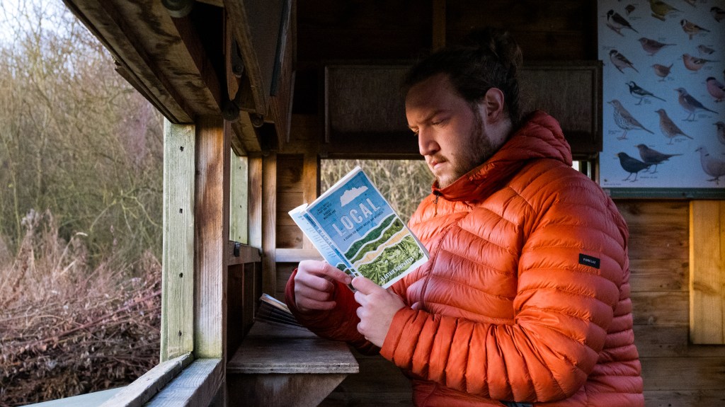
I’ve recently finished reading Alastair Humphreys’ new book Local, which follows his own adventure around a single map. His map, in fact, has his home placed right in the middle.
Alastair explores his map, one kilometre-wide grid square at a time. Armed with a flask of coffee and his bike, he looks for the unknown in the streets that he already knows, visiting a new square to explore each week.
I was fascinated by the idea. Living in the relatively flat countryside of the Midlands, you have to commit a full weekend of free time to go and have an ‘Adventure’ climbing a mountain in one of our national parks. Exploring a local map sounded like a much easier way of adding some adventure to my otherwise hectic life.
After finishing the book, I went and dug out my own local map and laid it out on the floor to take a look at. Just one side of it (the side with my house on) had over 400 grid squares alone. That’s a lot of places to explore, each with its own secrets and story to tell.
I labelled each square and then asked ChatGPT to pick 30 of them at random for me, which I would try to tick off over the next year. I thought 30 would be a reasonable amount of adventure for a year, with a good balance between getting to see plenty of new places, while not turning it into a chore.
Fosse Meadows
A typical chunk of midlands countryside. Fields, sheep and the odd public foot path.

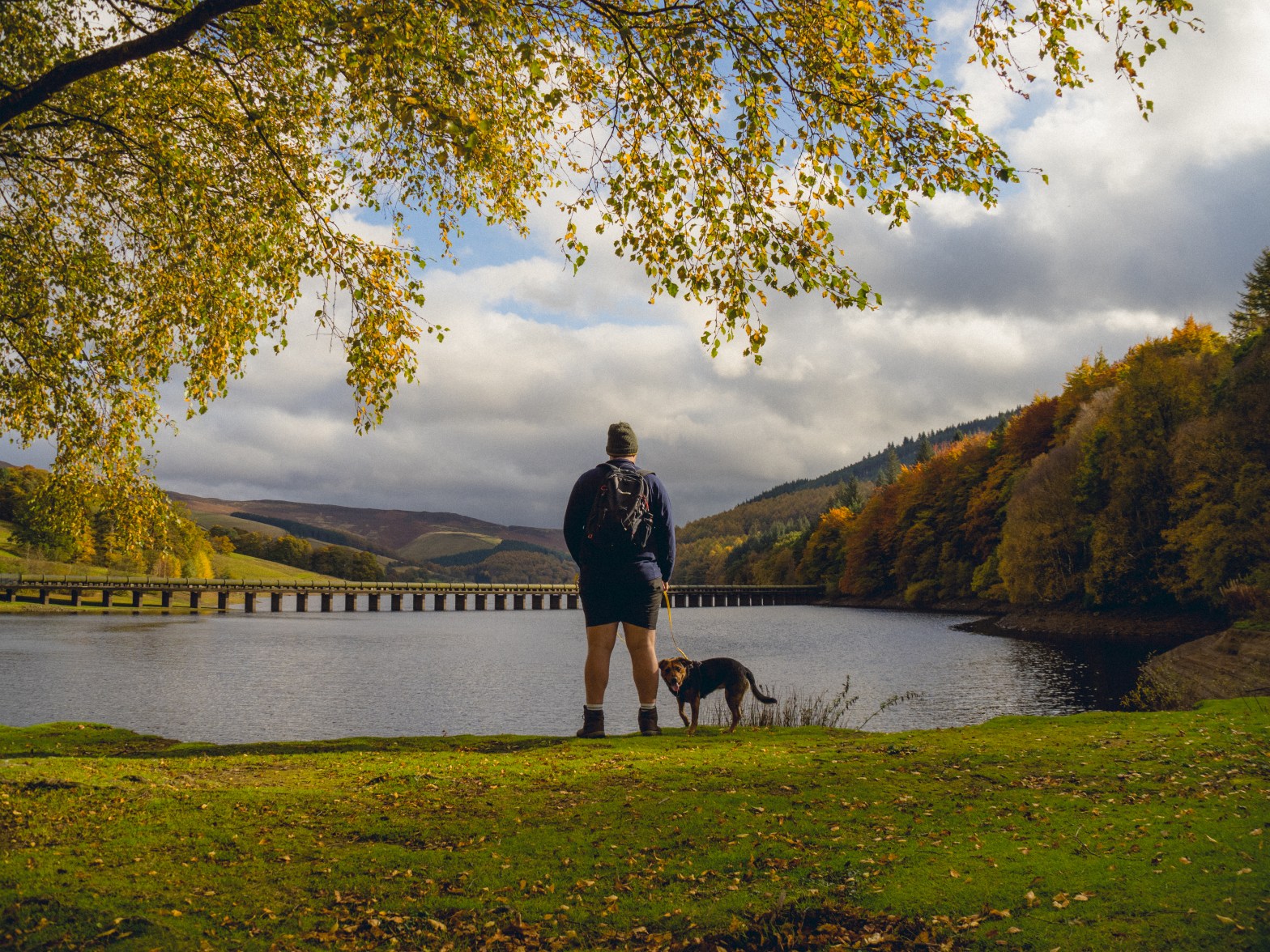
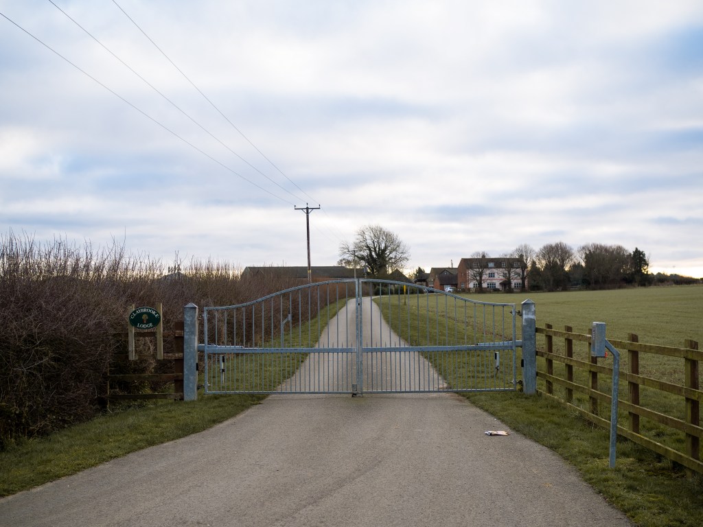
So with a weekend morning free of plans I set off to my very first grid square. To make it more manageable, I picked one which was a bit closer to home. My first square was mostly made up of farmland, sliced in half by a small section of the longest Roman road in Britain, Fosse Way. Over 2000 years old, it weaves its way across England’s green and pleasant land from Lincoln to Exeter. Built to shuttle troops and supplies from one town to another during Rome’s reign over Britain, its name derives from the Latin word ‘fossa’ which means ditch. Quite a fitting name, as I had to pull my car into quite a few ditches to dodge other traffic down the single track road to the car park of Fosse Meadows.
The final stretch of road before the car park had been freshly tarmacked, and it made a good point about why maps are important. Every inch of this road will have at some point been resurfaced to make it more accessible and usable for the modern world. It’s no longer the road that the Romans carved out all that time ago, but compare a map now to a map from all the way back then and the line across it will be roughly the same. A map represents the history of a place just as much as it tells you what is there in the present day.
A lot of places around here are called ‘Fosse’ something or another. I’ve cycled and driven along sections of the road before and not really given it any thought. In fact, it wasn’t until I got home from exploring this square that I turned to trusted Google and found out it was even a Roman road, let alone Britain’s longest one!
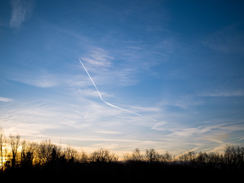
I arrived in the square just before the sunset, when blue hour and golden hour meet. It’s one of my favorite times of the day because you feel like you’re watching the world wake up. Sleepy eyes are still adjusting to the usually penetrating sunlight coming over the horizon, and most often you have the world to yourself as everyone else sleeps.
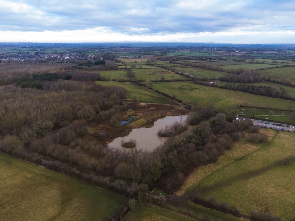
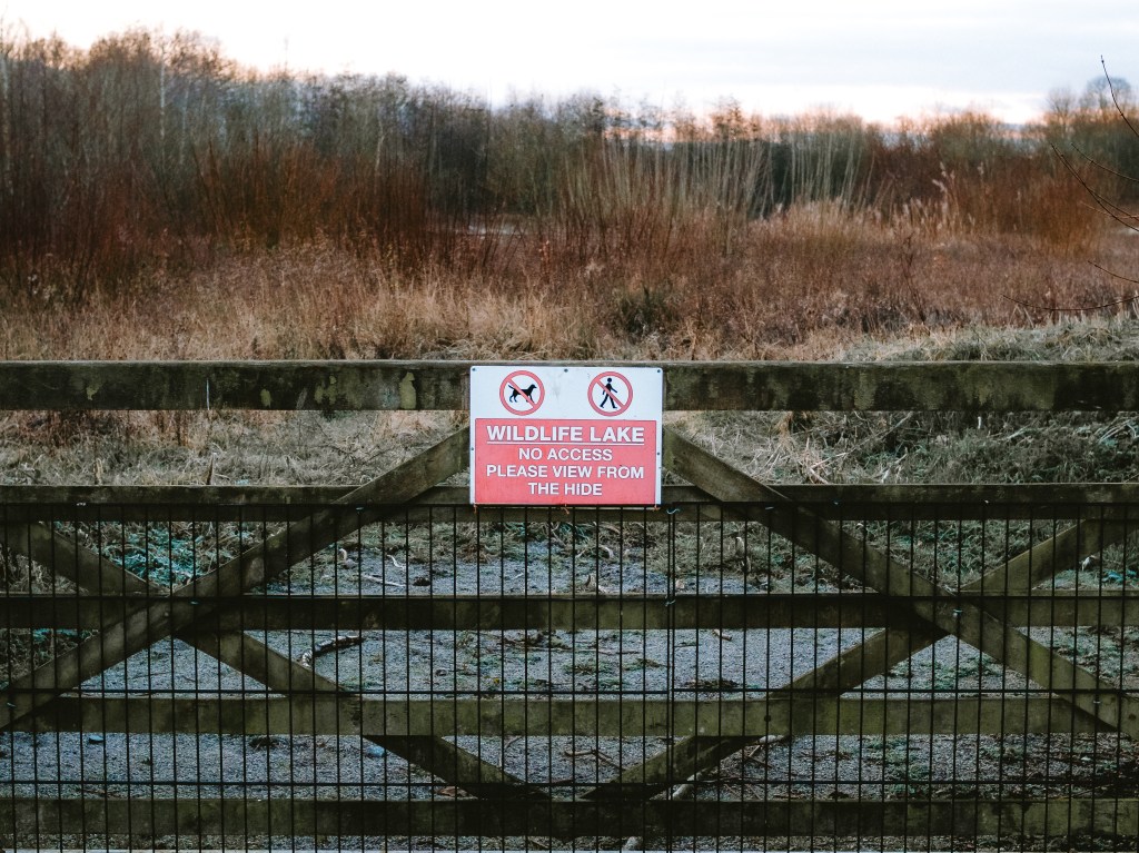
The park is around 20 acres in total, made up of different plantation schemes which make up over a thousand variations of native trees and plants. Although there is line after line of trees planted in perfect symmetry, there are also re-wilding projects in the park, mainly the wildlife pond which was situated on my map square. The diversity in nature makes it one of the most biodiverse areas in the County.
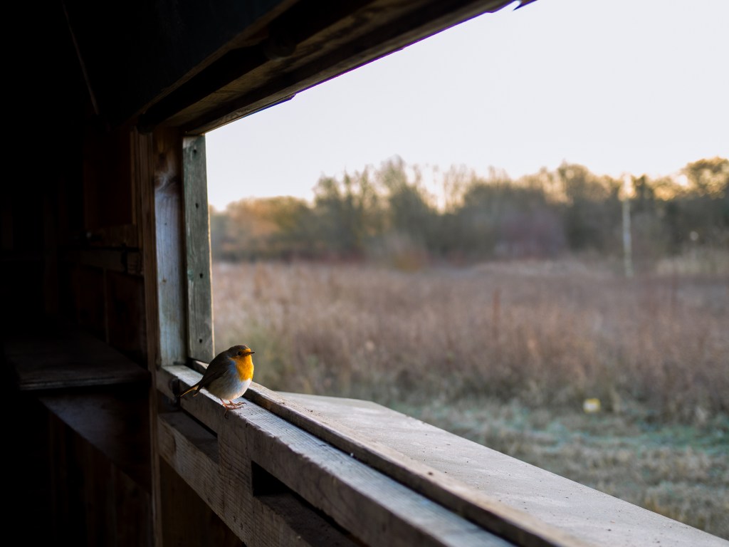
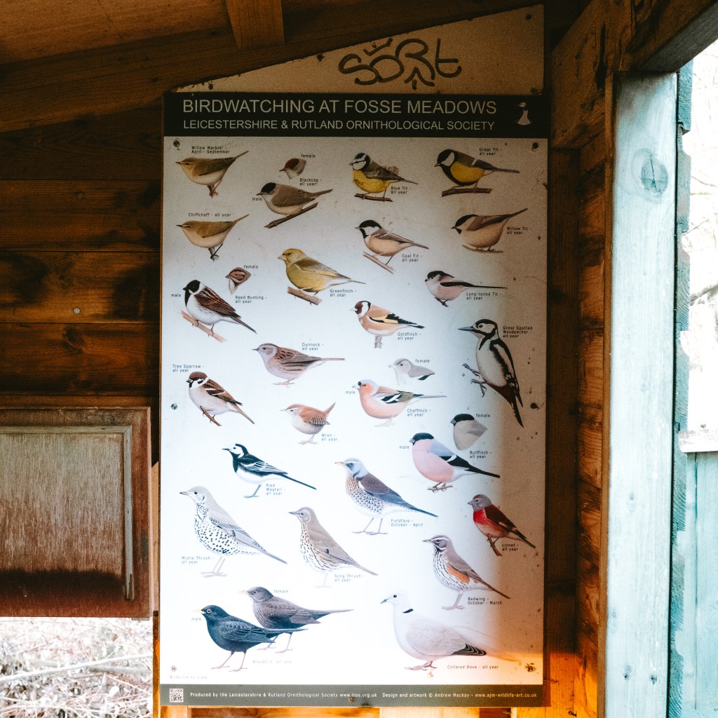
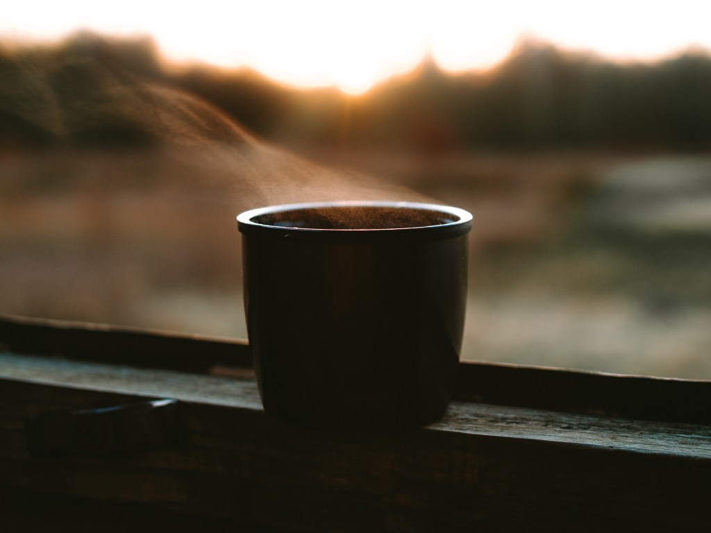
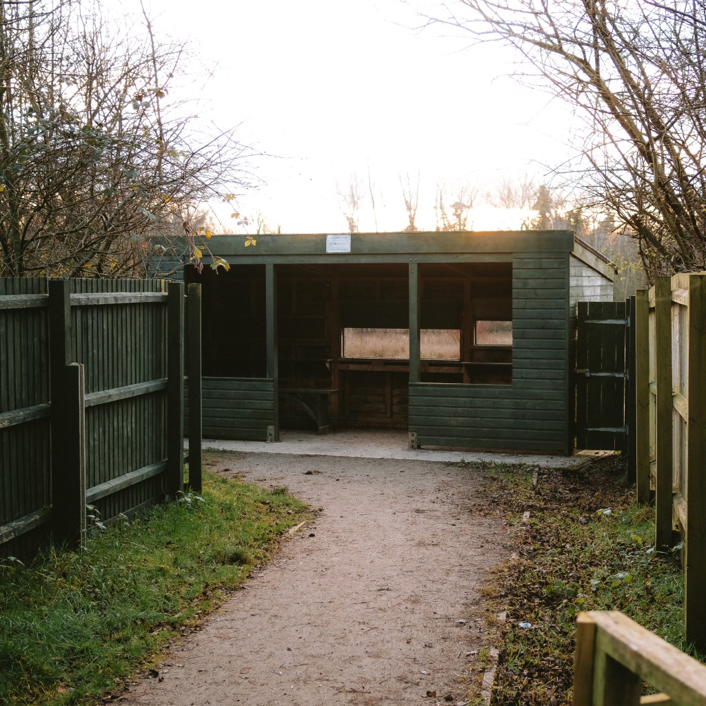
I started my exploring off by heading to a bird hide to the side of the pond for a cup of coffee. There was a poster on the wall of the hide with all the different variations of birds which could be seen at the park throughout the year. Looking out across the pond, I couldn’t see much more than a couple of ducks and a single brave, little robin which jumped up and perched himself on the ledge this morning. I took a quick photo on of the sign on my phone and stored it to look back on. I wonder if I would see many of these birds on my adventure across this map this year?
I drank my coffee as I watched the sunrise across the water, listening to the bird songs from the woodland behind me, reminding me that nature, at least, is fine braving the cold mornings. The weather typically keeps people inside during the winter and we forget the beauty of morning walks. Feeling the frost crunch under foot, the exhilarating feeling breathing in the crisp, cold air and seeing the morning dew glisten in the sunlight, which often paints they sky a pastel pink.
I could have sat there for hours, but having run out of coffee decided to keep moving to stay warm. I’ve visited this park many times before, and walked the well trodden footpath that loops around the pond. The route nearly everyone takes. So instead this time I disappeared into the tree’s of the woods and swapped gravel path for squishy mud and rotting leaves.
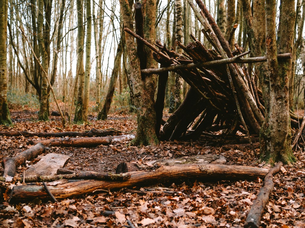
There wasn’t much of this woodland on my lap, so I didn’t have a lot to explore, but hidden away in the tree’s I did find an old hedgehog house, covered in moss and reclaimed by nature, as well as a shelter made from logs and sticks. As kids in the UK, most of us would have probably gone on school trips and spent a day building similar shelters. In reality, a bunch of sticks leaning against a tree in a neat line would make for a pretty poor shelter, but I still enjoyed a moment to think back to childhood memories of running around the woods with mates doing the same when I was little.
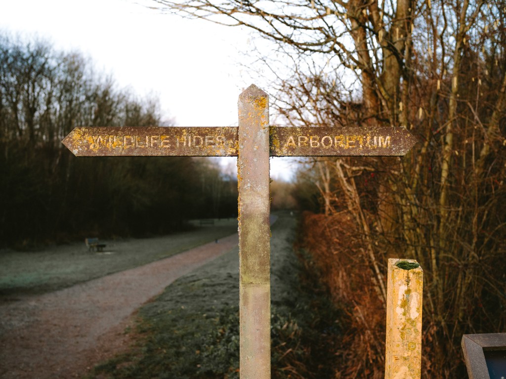
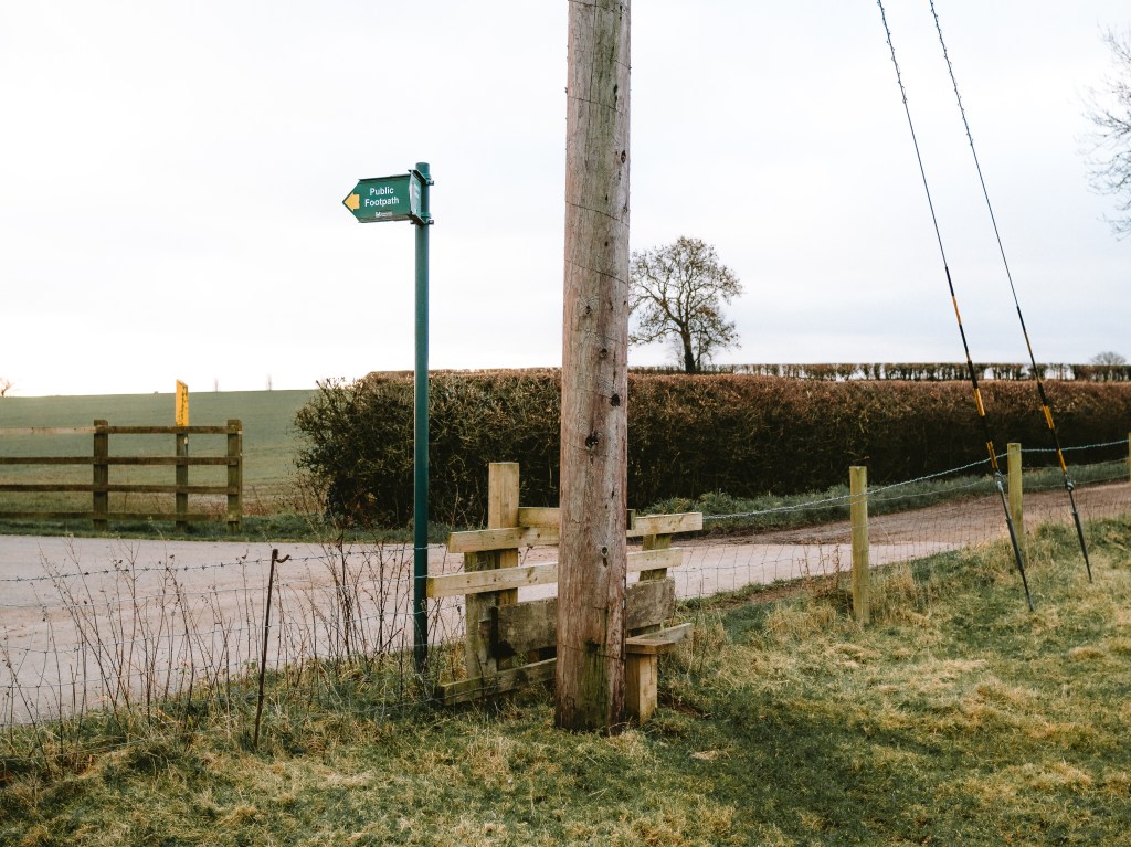
I left the park and joined the only public footpath on my square, which is part of the Leicestershire Round Walk, a 100+ mile loop of the County. I climbed over a stile, dropping down into an empty field and leaving the woods behind. A blanket of green was laid out before me, neatly cordoned off by hedgerows and hiding the waterlogged mud beneath it.
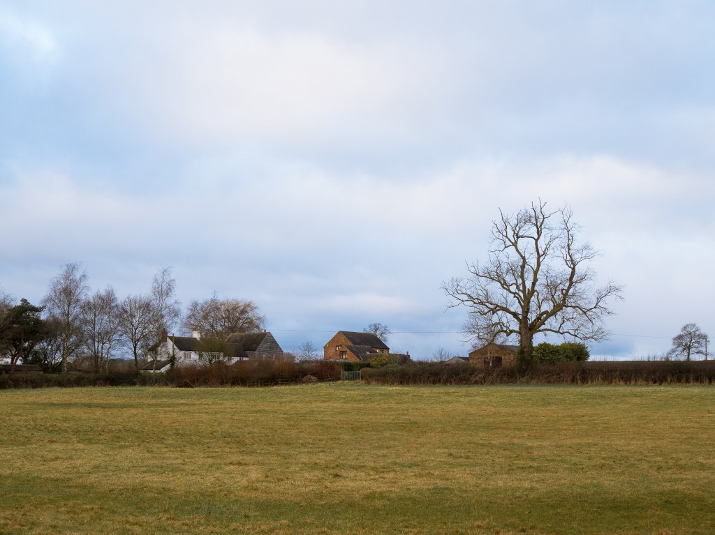
I could hear some children shouting in the distance, which appeared to be coming from the big house to my right. Their laughter was the first time I had heard people all morning and interrupted the now distant bird song, but I was pleased that they were outside enjoying the morning as well.
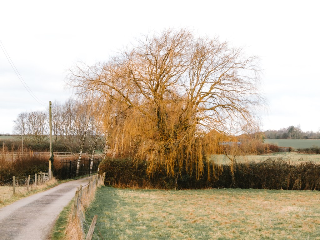
The footpath led straight through the field and out into another, where I skirted around the outside edge, following a small brook which led back down to the pond I’d just left. The path cut straight across the drive of the big house and into the next field. The drive led from the road and all the way past the field down to a lonely house in the distance. Each side of the road, there was a row of silver birch trees.
Trees planted in rows like this is referred to as an allée, and is done to emphasize whatever it might be at the other end. In this case, an obviously very expensive, nice house. It’s actually quite common for stately homes in the UK, with the best example being The Mall which leads down to Buckingham Palace, giving you a clear sight of the palace from over a kilometre away.
Another tree stood out in the row of birches though, and looked like it had been there much longer, judging by the size of its trunk. While most other trees were barren in the winter months, this one stood out with its long, yellow vines which swooped down low, almost of giving the appearance of a curtain to hid the branches of the tree. I’m not great at identifying trees, so had to do a little googling to find out what it was and took a guess at some kind of willow tree.
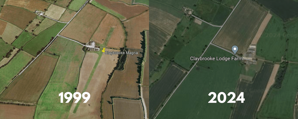
The public trail eventually led back out onto Fosse Way, before heading down another drive way, this time to Clayton Lodge Farm. The path followed the driveway until I was half way towards the house and then veered off in a straight line across a field of crops and off my map square. Judging by the 4 silos standing tall next to the barn, I assumed they were probably responsible for the sheep in the field opposite.
There wasn’t a lot to look at in this area of the square other than the footpath., which led off my map square and into the unknow. I didn’t want to venture off the path and onto the crops so I doubled back round and headed back the way I had come. Something on my map did take my interest however. Behind the farm house on the map were two rows of dashed black lines. These usually mean foot paths which are not public right of ways. The field in question however was just a field of crops. No footpath, and no sign of anything interest which I could see.
I did a quick google search and found an arial view of the farm. A picture from 1999 showed a grass runway stretching the length of the field. Between 1979 and 2015 the farm was host to the Leicestershire Microlight Aero Club. I wondered if the lines were old foot paths from when the airfield was in use.
As I walked back across the muddy field to join the road, I could see the tips of two church spires in the distance. They made me curious about which squares they were in. Would they be one’s I go and explore on this trip? I was feeling excited about the prospect of where this project was going to take me. Leicestershire is still relatively new to me anyway, having only moved here within the last two year. Although the village names and main roads might be familiar, I know there is so much out there for me to go and find.
Once I left the public footpath there wasn’t much more to explore other than the Fosse Way road leading back down to the car park. I caught a glimpse of a couple of blackbirds feeding on a Dog Rose bush just inside the park, their bright red berries adding some colour in the winter months. When I got a bit closer the black birds soon flew off, leaving just a lone dog poo bag hanging from the branches. It made me a little angry at how irresponsible some people can be. Here I was learning about all the different ways in which this park was helping the local nature, and other people couldn’t be bothered to carry their mess to the bin a few hundred meters away.
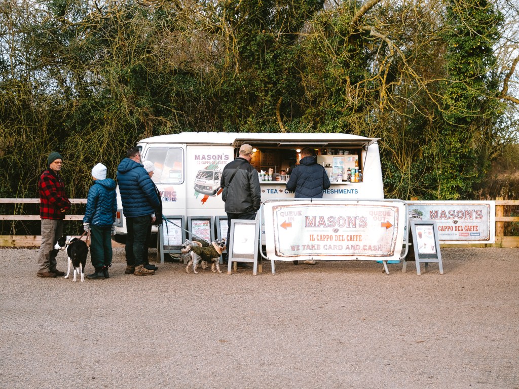
The car park was busy when I got back. Dog walkers were pilling their muddy pups into the backs of 4×4’s, just as families unloaded their kids, prepared with wellies, ready to go and splash in some muddy puddles. The residential coffee van in the corner had a que of people lining up for their morning caffeine hit. Plenty of people were here to enjoy the park. Would they go and explore it to the extent I had or just follow the path they usually do? I had a feeling the only other people here who were feeling just a curious as me were the kids picking up stones to take a look what was underneath. Imagine how much more we would care about nature if we never lost the curiosity we had as children.

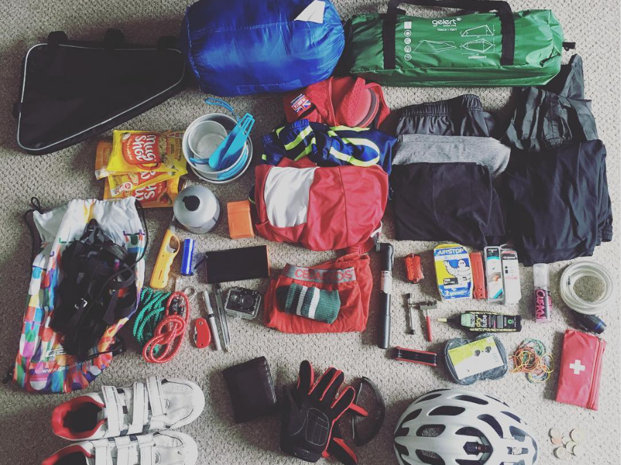
The main purpose of this adventure is to spend more time outdoors and get to know my local area a little bit better. I also want to use it as an opportunity to spend some time with my camera taking pictures. Camera’s make you curious as you look for interesting things to capture. They make you slow down and pay attention.
Here are some other photo’s I took whilst I was exploring this square…


This blog post is only one of many in the series A Local Map. If you enjoyed coming on this adventure of local exploration with me then subscribe on the link below to never miss an update!!
If you really enjoyed reading this blog then please consider recommending it to a friend!
Subscribe
Enter your email below to receive updates.