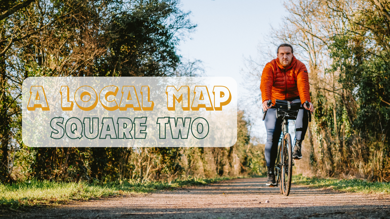
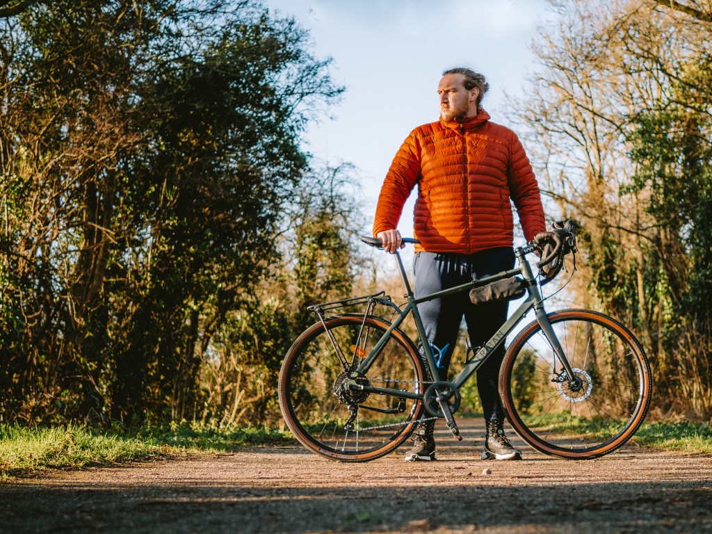
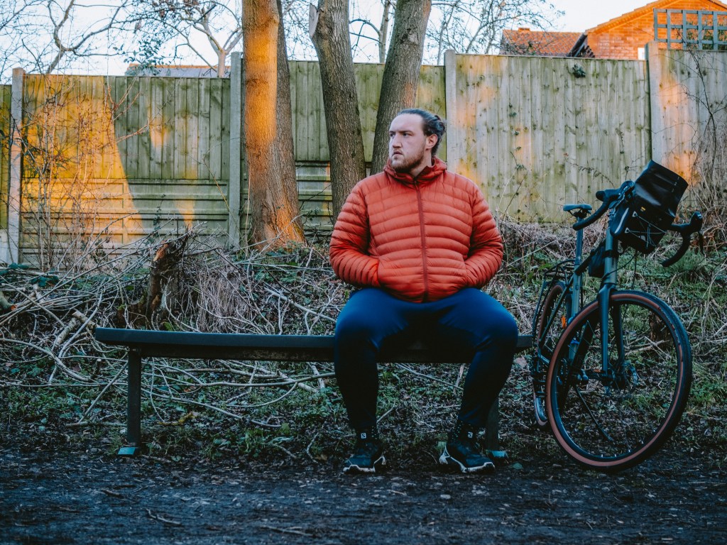
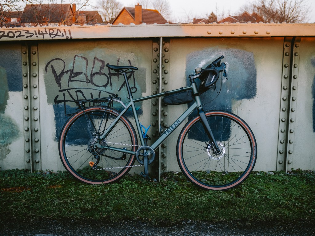
Fresh from completing my first grid square, it didn’t take me long to get back out again in search of square number two. When I was presented with a Friday afternoon off work, I looked out of my window, seen the clear blue skies, and knew I needed to go fetch my bike and cycle the mile down to my next grid square.
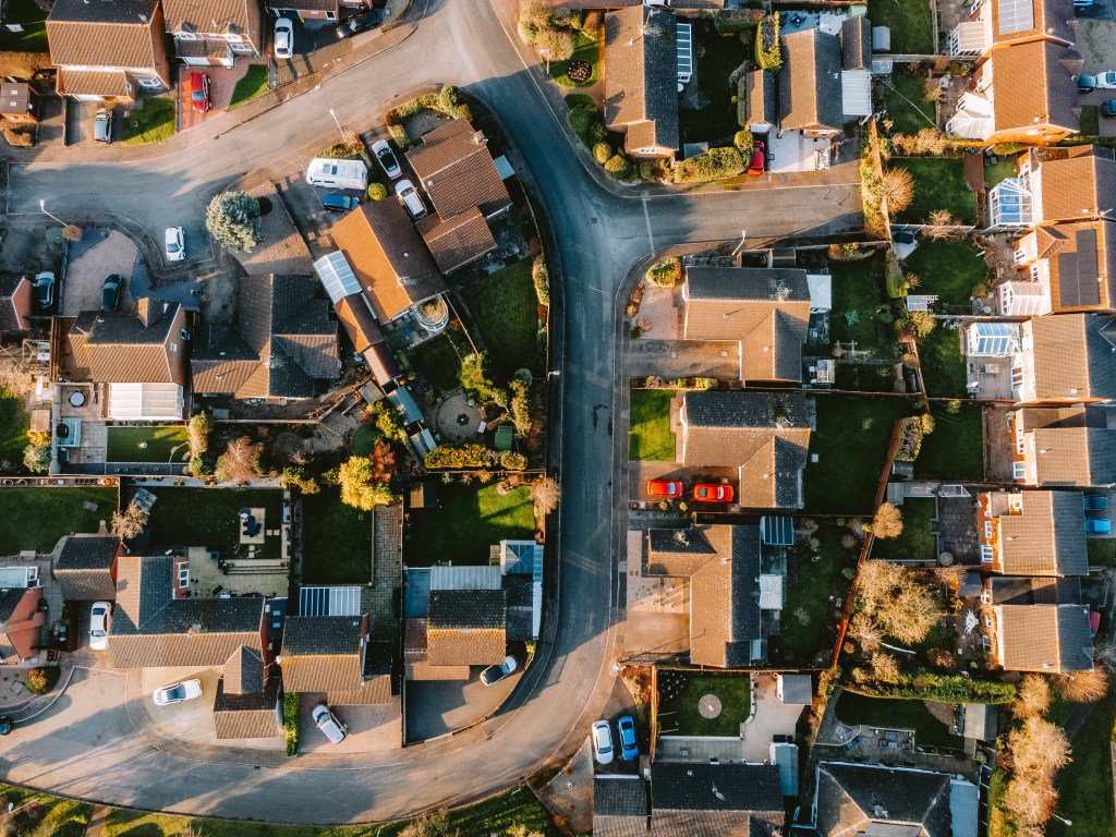
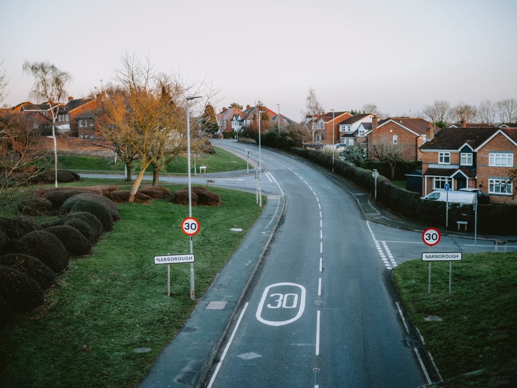
Grid Square two was the next village along from where I live. Narborough dates back as far as the Anglo-Saxons in the 7th century, and for a long time was a small village out in the countryside. Recent population growth in the area has led to the building of new houses, and in the present day it’s home to over eight thousand residents.
That meant that a lot of my grid square was made up of new build housing estates, although a small corner included an old rail line which has been converted to a public footpath, and a small section of the River Soar. Peaking my interest, I decided that’s where I would begin my exploration for my second square.
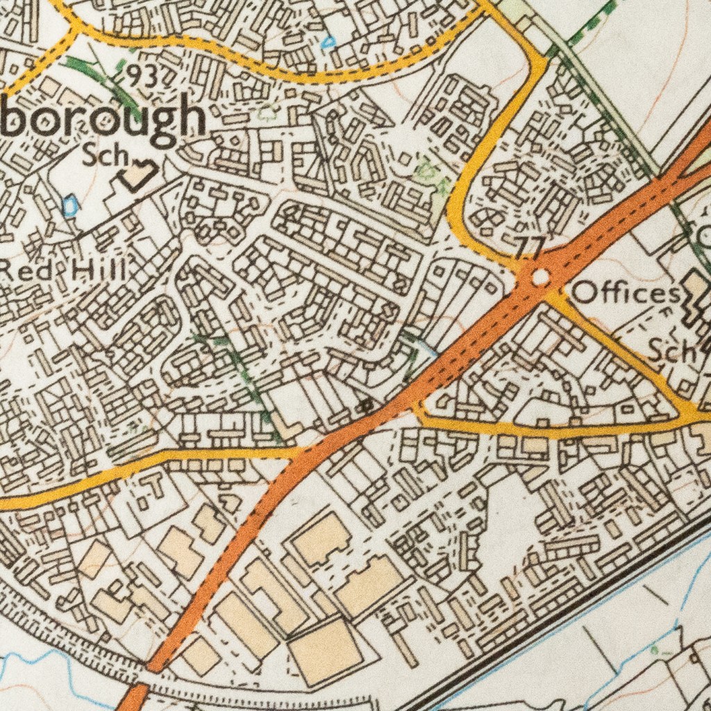
Narborough
An area of the Leicestershire countryside, taken over by the growth of the village. There is plenty of housing estates to explore.
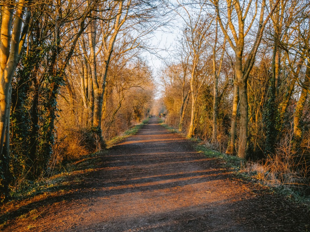
I entered the grid square by bike as I left the main road and joined Whistle Way. A lot of old railway lines are being converted into public walks and are becoming important natural spaces within growing town and villages. This 2 mile stretch in particular used to run materials from the quarry in Enderby, but is now a quaint 2 mile walk sandwiched between grazing fields and the residential area of Narborough.
I whizzed down the gravel trail uninterrupted. With the wind blowing across my face and the midday sunlight flashing between the gaps in the trees, I could have closed my eyes and relaxed completely into the bliss of my surroundings. Sensing that would probably result in me falling off my bike however, I instead took a moment to appreciate what a beautiful day it was to be outside, and continued along the track, focused on where I was riding.
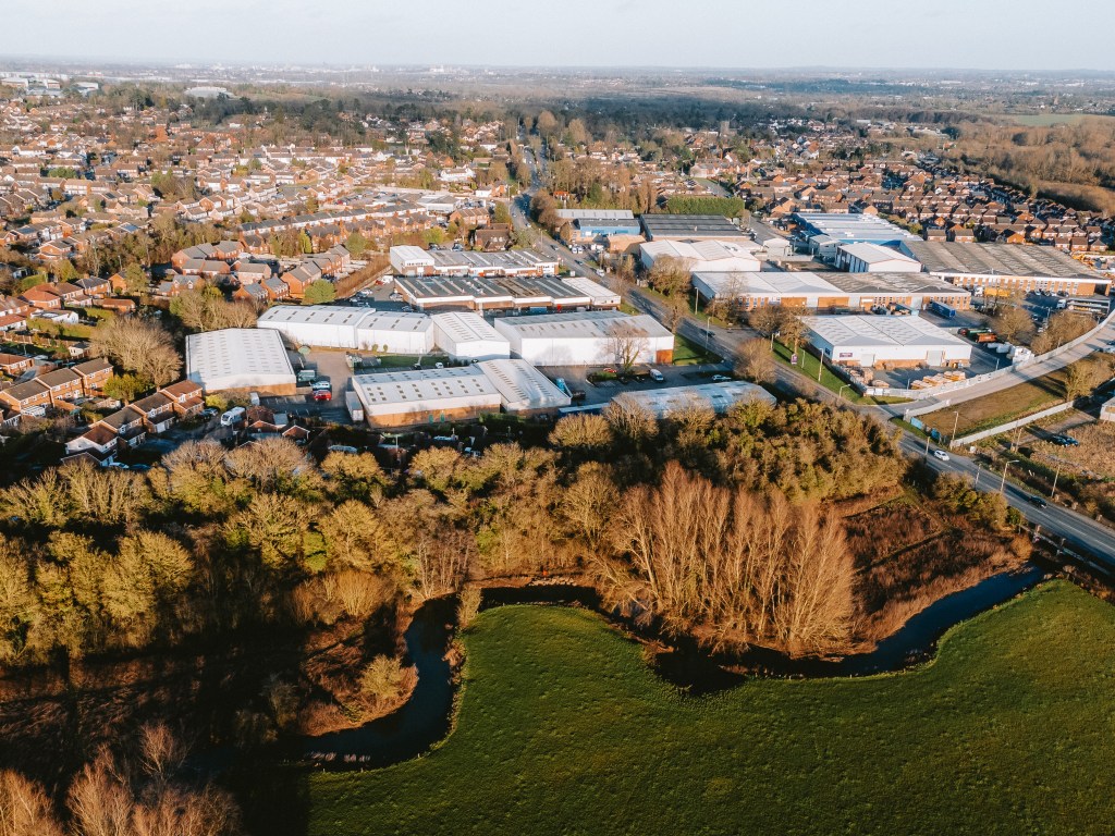
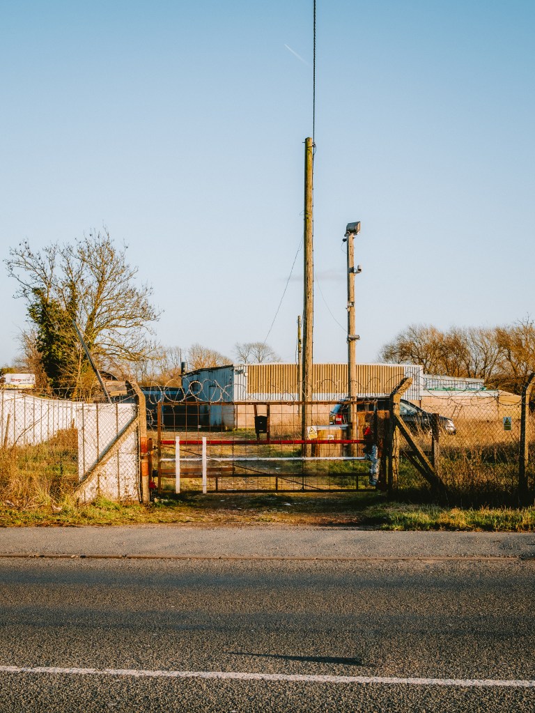
The path finished at a main road, brought abruptly to an end by the removal of the bridge railway line bridge, cutting the paths route. I slipped off the path and out into Whistle Meadows rather than being confronted by roaring cars making their way home from work on a Friday afternoon. The same as last week, I’d been to this meadow before. Although highlighted as a local nature spot, I have never seen another person here. Perhaps the noise from the cars on the main road just 50m away puts people off, or perhaps, with a big industrial estate a stones throw away, people do not expect to find a pocket of nature to enjoy. Were any of those cars out on the road heading down to the better known Fosse Meadows Park where I had been last week, completely oblivious to this little spot?
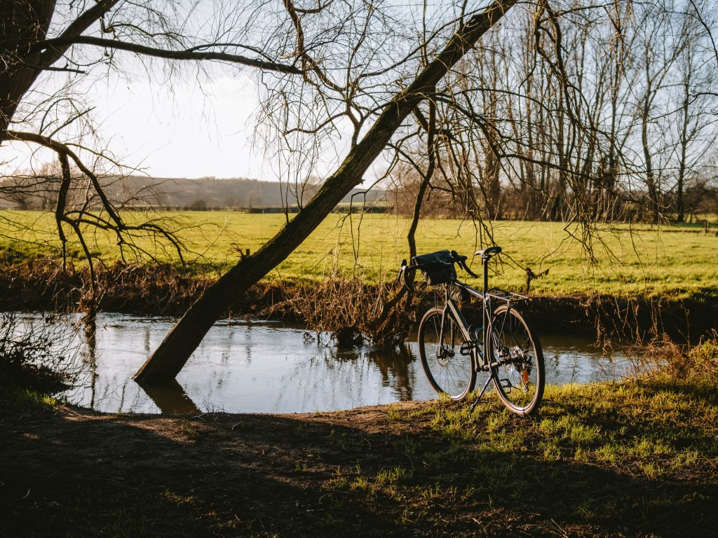
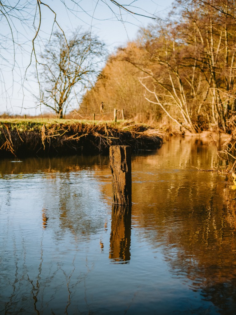
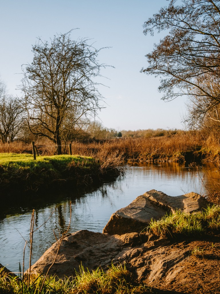
I had to trudge through the meadow to get to the river. A reminder that despite the clear blue sky it was still January and only a week or two before this whole area was under water. The river arches it’s way along a bend band of trees, ducking below a particularly old tree which is slowly falling into the river as the bank erodes. It made for a nice shaded spot to stop.
The river here only trickles through, just deep enough to paddle your feet into the cold water. Starting from Hinckley, just a few miles south, the River Soar winds its way through Leicestershire before joining the Trent River. About half way along it’s journey there is a spot I’ve previously been to swim at sunrise on the Summer Solstice.
It was too cold and muddy to tempt putting my feet in, so instead I stood on the rocky bank and enjoyed looking out across the meadow. In the distance I could see Croft Hill, a place I spend a lot of time at and the only bump on a long, flat horizon. Although the meadow looked pretty barren right now, I tried to think back to when I had been here before and how different it looked during the spring, when you could see fish swimming in the crystal water.
I eventually had to drag myself away from the river, knowing that before long it would start to get dark. I still had a lot of my grid square to go and explore. I left the meadow and joined the busy road shepherding traffic into the city centre. I rode along the path as I made my way through an industrial estate, trying to notice anything interesting, but seeing nothing by irrigated steel walls and stacks of pallets.
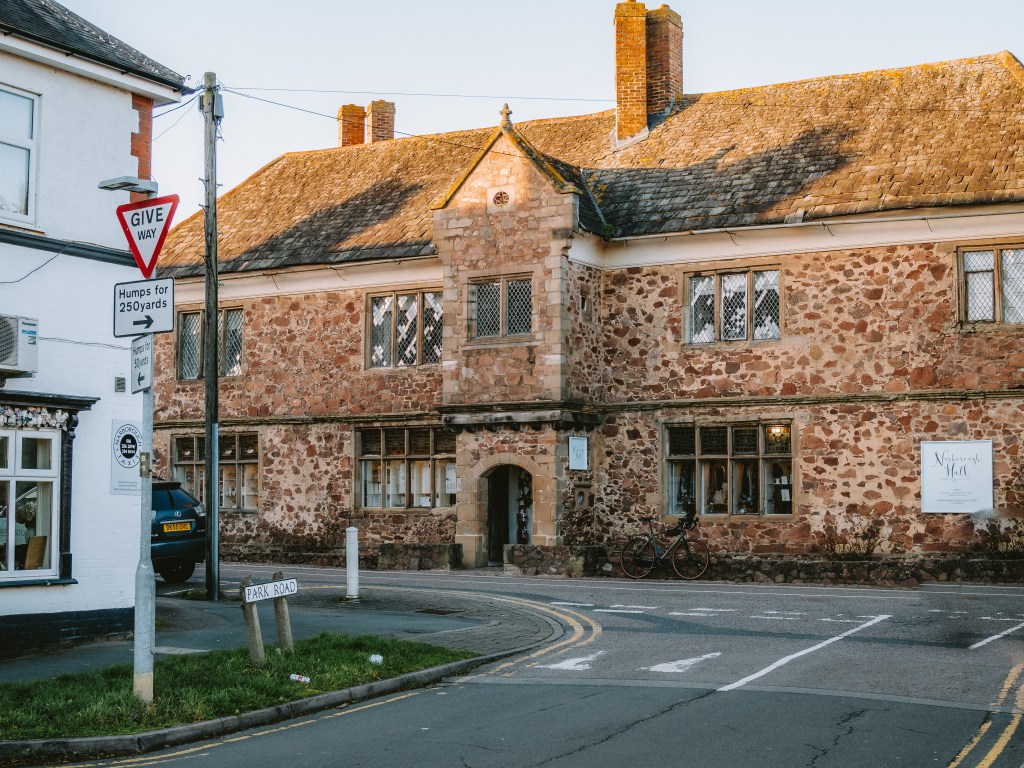
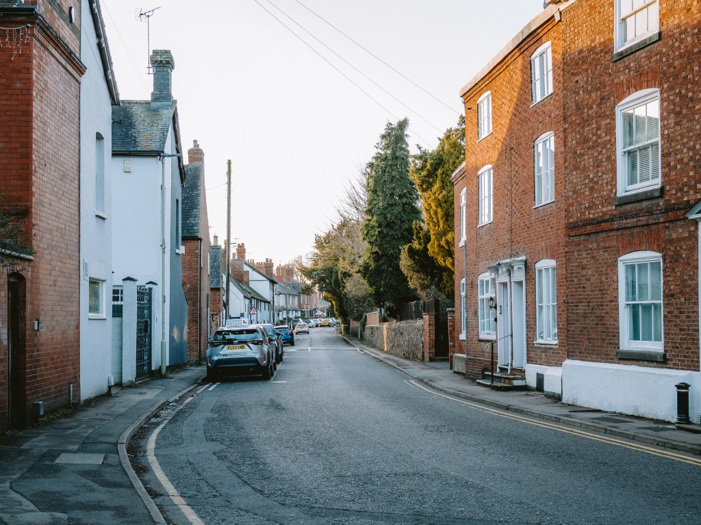
Coming into Narborough, I left the main road and headed into the oldest part of the village. Although the cottages stand out immensely compared to the new builds up the road, the Church, Pub, railway line and Narborough Hall all within a hundred meters of each other were a give away. The fact that from the Hall you could see the church and pub, and also hear the trains passing, showed how small this village had once been back in the day.
I stopped to look at Narborough Hall. I drive through this village every day on my way to work, but my commute takes me along the much more convenient main road, so I had never really paid much attention and had certainly never noticed that there was a 16th century manor house here. The pink granite hall was built some time around 1596 for the landowner James Meade, but today is a shop selling artisan gifts.
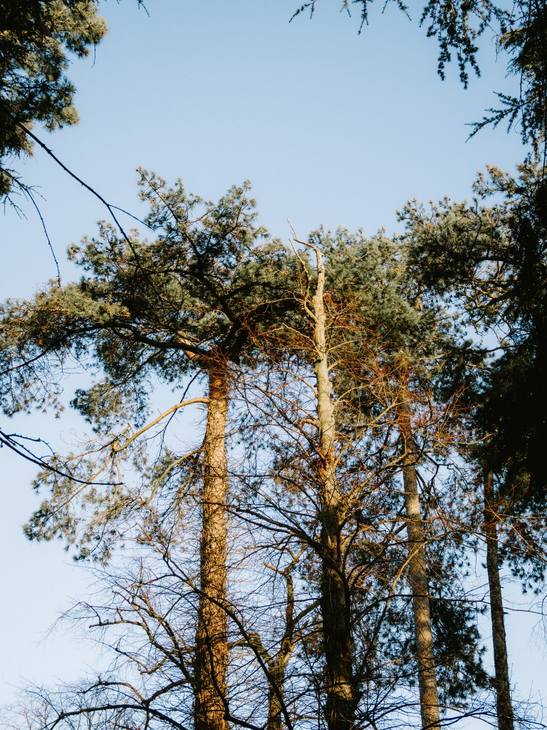
As the church and the train stations sat just outside my grid square I headed back into the new build estate, via a little section of woodland I’ve passed before on a a regular running route. Usually I’m zoned out on runs, head phones in listening to a podcast, so again, although I’d passed this wood many times I’d never bothered to go in. It was a lot smaller than I initially thought, with just a short 50m path leading into the estate, but was home to some towering pine trees.
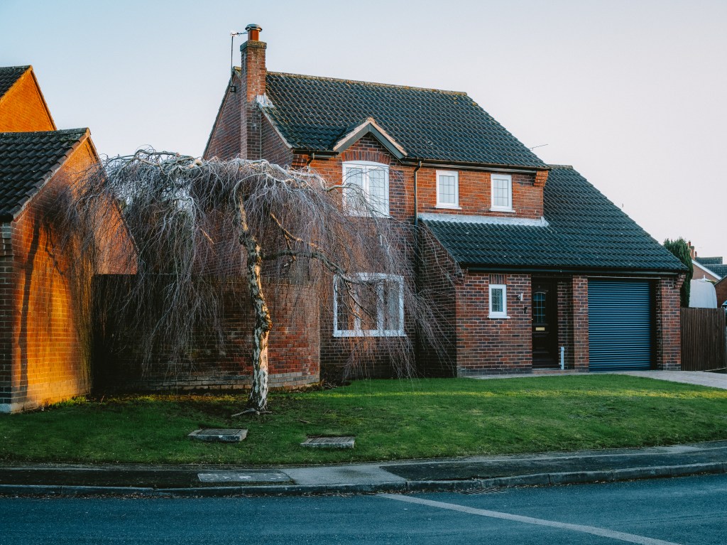
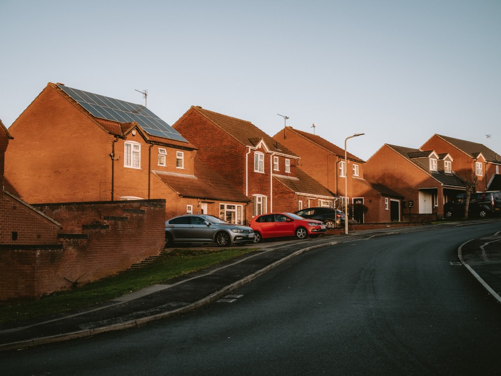
The housing estate was a maze of neat houses and roads. Shiny cars sat on driveways next to immaculate lawns, mowed down to the centimetre and a deep shade of green. The sun was beginning to set and the sky had a turned as golden as the orange bricks on the houses I rode past. As I cycled up a small hill to the local shop a couple of school kids shouted (probably sarcastic) encouragement to keep going between mouthfuls of sweets.
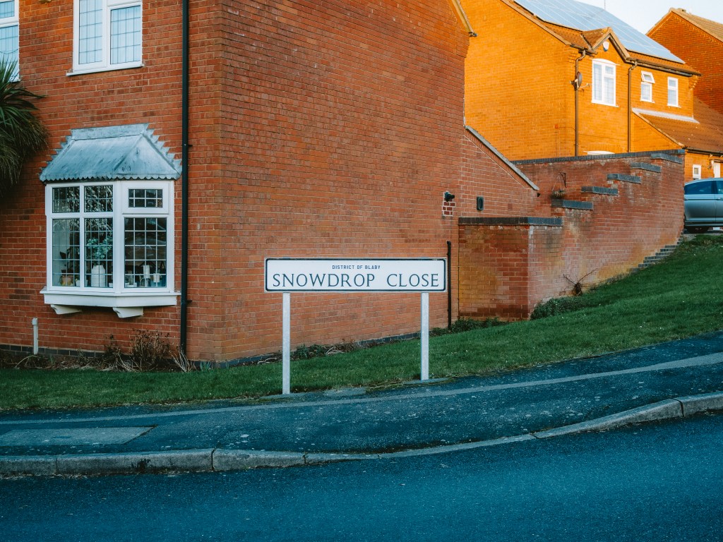
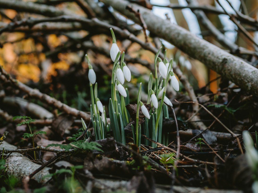
Cul-de-sacs shot out from the main road like the branches of trees I’d just passed, each named after a plant, Campion Close, Thistle Close, Fox Glove Close ext… I thought how ironic it was that these roads were named after the nature it had no doubt ripped up to be built. My suspicions were confirmed when I re-entered Whistle Way via Snowdrop Close and found my first snowdrops of the year, tucked away in a pile of cut down branches which had been cleared off the path.
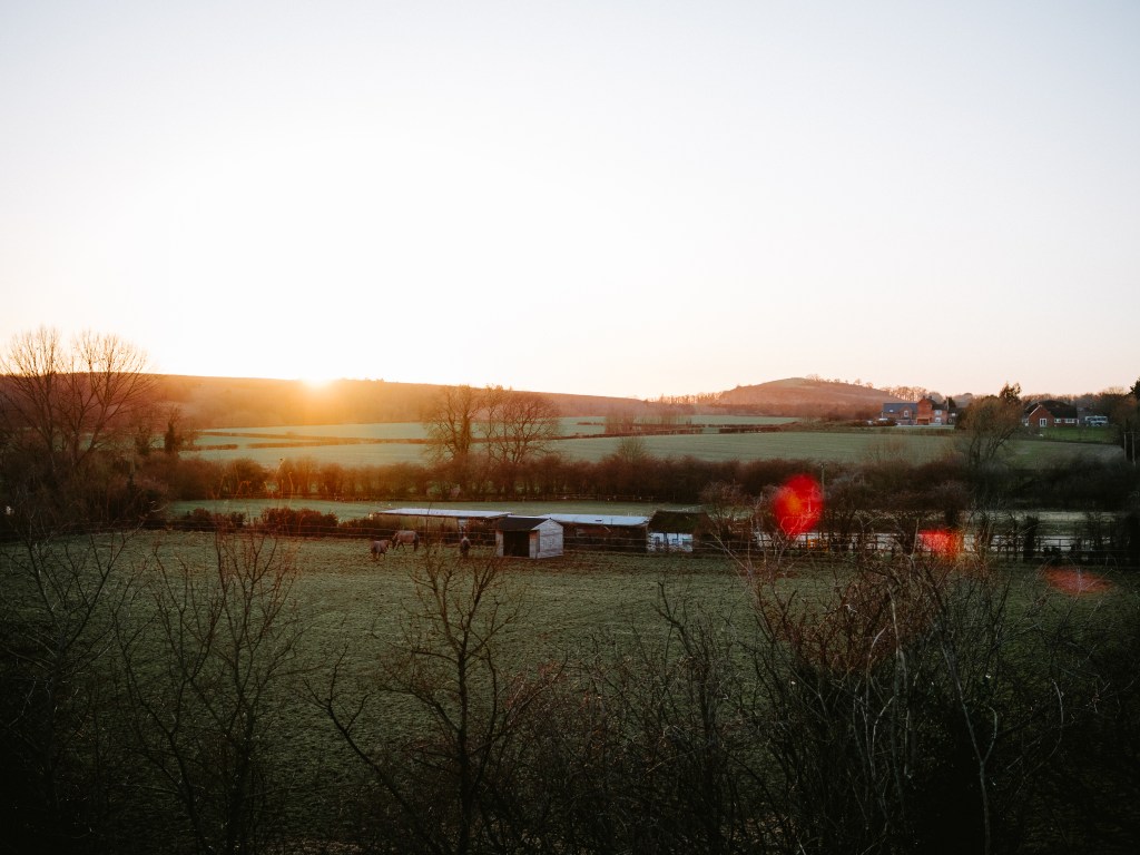
Whistle Way led me back to where I had initially started the days exploring and I stopped for a few minutes on top of the bridge, looking down at the cars driving underneath me. The sky now a deep shade of orange and growing ever darker. I knew there was not much time left before I needed to join those cars on their journeys home for the weekend. They crept up the country lane back to the village, leading my eyesight like a trail of ants back to Croft Hill which stood out against the glorious sunset. It was time to head home.
The main purpose of this adventure is to spend more time outdoors and get to know my local area a little bit better. I also want to use it as an opportunity to spend some time with my camera taking pictures. Camera’s make you curious as you look for interesting things to capture. They make you slow down and pay attention.
Here are some other photo’s I took whilst I was exploring this square…
This blog post is only one of many in the series A Local Map. If you enjoyed coming on this adventure of local exploration with me then subscribe on the link below to never miss an update!!
If you really enjoyed reading this blog then please consider recommending it to a friend!
Subscribe
Enter your email below to receive updates.
